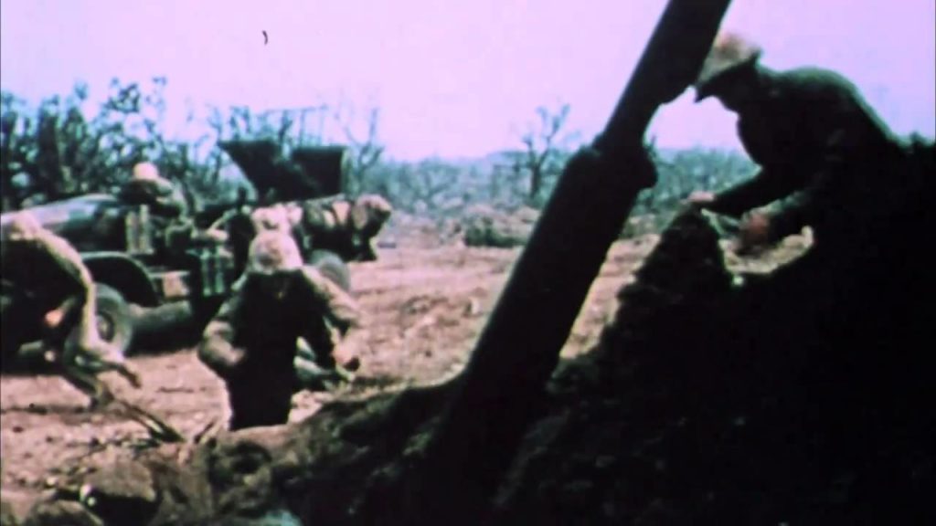
Iwo Jima , officially Iwo To , volcanic island, c.8 sq mi (21 sq km), W Pacific, largest and most important of the Volcano Islands . Mt. Suribachi, 546 ft (166 m) high, on the south side of the island, is an extinct volcano. The main industries were formerly sulfur mining and sugar refining, but since World War II the island has been a military base. During the war Iwo Jima was the site of a Japanese air base, and it was taken (Feb.-Mar., 1945) by the United States at great cost to U.S. and Japanese forces. A photograph of U.S. marines raising the flag over Mt. Suribachi, is one of the most famous images of the war. Iwo Jima was occupied by the U.S. until 1968, when it was returned to Japan. Historically known to its residents as Iwo To, the island was called Iwo Jima by the Japanese navy officers who fortified it during World War II; both names mean Sulfur Island. The island was officially renamed Iwo To in 2007. (The Columbia Encyclopedia, Sixth Edition 2006)
Pacific Lost Evidence Iwo Jima World War II (1/5)

